The Unique Maps Co.
Old Map of Karachi, 1886: Port & Harbour, Cantonment, Oyster Rocks, Light House
Old Map of Karachi, 1886: Port & Harbour, Cantonment, Oyster Rocks, Light House
Couldn't load pickup availability
Explore the intricate beauty of "Kurrachee (1886) (Indes)," a captivating city map that offers a window into the historical tapestry of Karachi, Pakistan, during the late 19th century. This meticulously crafted map, created by the French Ministère des travaux publics, Administration des routes, in 1888, serves as a testament to Karachi's pivotal role in global maritime trade. With its detailed depiction of the bustling port, the map captures the essence of a city poised at the crossroads of history and commerce.
The map showcases significant neighborhoods, such as the Cantonment area, which was central to the city's colonial administration. This area, rich in historical context, reflects the architectural and cultural influences of the British era. The depiction of the bustling streets and avenues, including Bunder Road and McLeod Road, reveals the vibrant urban life that characterized Karachi during this period. These thoroughfares were vital arteries of trade and communication, linking the port to the city's heart.
Landmarks such as the Custom House and Light House are prominently featured, symbolizing Karachi's maritime heritage. These structures were not only essential for navigation and trade but also stood as icons of the city's economic vitality. The Oyster Rocks, depicted offshore, add a natural element to the map, highlighting the geographical features that defined Karachi's coastline and its strategic importance in the Arabian Sea.
The map's depiction of the West and East Backwaters, along with the intricate drainage systems, underscores the city's complex relationship with its natural environment. These waterways were crucial for trade and transport, and their inclusion on the map reflects the city's adaptation to its unique geographical challenges. The map also illustrates the railways and bridges that connected Karachi to the broader region, emphasizing the city's role as a transportation hub.
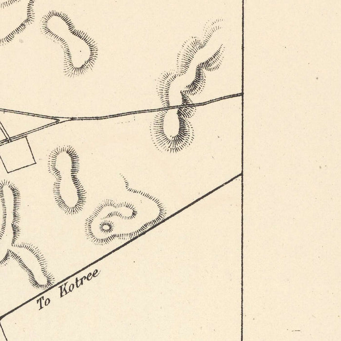
Crafted with precision and artistry, this map is more than a navigational tool; it is a historical document that captures the essence of a city in transition. The use of hachures to depict relief adds a layer of depth, inviting viewers to explore the topography and urban planning of a bygone era. As part of the "Atlas des ports étrangers," this map is a valuable piece of history, offering insights into the development of one of the world's most dynamic port cities.
Streets and roads on this map
- Artillery Maidan
- Bunder Road
- Campbell Street
- Clarke Street
- Elphinstone Street
- Frere Street
- Garden Road
- Lawrence Road
- McLeod Road
- Napier Street
- Queen's Road
- Victoria Road
Notable Features & Landmarks
- Inset maps: "Kurrachee (1888)" showing further development of the port.
- Landmarks:
- Port & Harbour
- Oyster Rocks
- Light House
- Custom House
- Kiamari
- Neighbourhoods:
- Cantonment
- Other notable features:
- West Backwater
- East Backwater
- Arabian Sea
Historical and design context
- Name of the map: Kurrachee (1886) (Indes)
- Creation date: 1886
- Mapmaker/Publisher: France Ministre des travaux publics, Administration des routes, 1888
- Interesting context about the mapmaker: Part of the French Ministère des travaux publics, focusing on infrastructure and international port connectivity.
- Topics and themes:
- Detailed depiction of Karachi's port, topography, railways, streets, bridges, drainage, docks, islands, and soundings.
- Relief shown using hachures.
- Maritime trade routes and port development.
- Design/Style: Lithograph in black, white, and blue.
- Historical significance: Highlights Karachi's role in global shipping routes and its infrastructure during the late 19th century, part of the "Atlas des ports étrangers."
Please double check the images to make sure that a specific town or place is shown on this map. You can also get in touch and ask us to check the map for you.
This map looks great at every size, but I always recommend going for a larger size if you have space. That way you can easily make out all of the details.
This map looks amazing at sizes all the way up to 70in (180cm). If you are looking for a larger map, please get in touch.
The model in the listing images is holding the 16x20in (40x50cm) version of this map.
The fifth listing image shows an example of my map personalisation service.
If you’re looking for something slightly different, check out my collection of the best old maps to see if something else catches your eye.
Please contact me to check if a certain location, landmark or feature is shown on this map.
This would make a wonderful birthday, Christmas, Father's Day, work leaving, anniversary or housewarming gift for someone from the areas covered by this map.
This map is available as a giclée print on acid free archival matte paper, or you can buy it framed. The frame is a nice, simple black frame that suits most aesthetics. Please get in touch if you'd like a different frame colour or material. My frames are glazed with super-clear museum-grade acrylic (perspex/acrylite), which is significantly less reflective than glass, safer, and will always arrive in perfect condition.
Share