The Unique Maps Co.
Old Map of Monaco by Gillot, 1898: Monte Carlo, La Condamine, Casino, Palais, Port
Old Map of Monaco by Gillot, 1898: Monte Carlo, La Condamine, Casino, Palais, Port
Couldn't load pickup availability
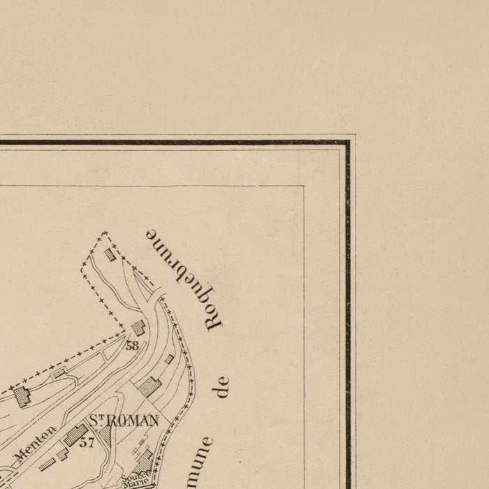
The "Principauté de Monaco" map, crafted by the esteemed C. Gillot in 1898, is a captivating glimpse into the urban fabric of Monaco at the close of the 19th century. This monochrome masterpiece not only delineates the intricate streets and infrastructure of the principality but also highlights the presence of electric tramways, a testament to Monaco's early adoption of modern public transportation. The detailed line work and inclusion of a compass rose enhance its navigational charm, making it a valuable artifact for both historians and cartography enthusiasts.
Monaco, renowned for its opulence and strategic location along the Mediterranean, is vividly brought to life through this map. Key neighborhoods such as Monte Carlo and La Condamine are prominently featured, showcasing their historical significance and development. Monte Carlo, with its world-famous casino, is depicted alongside other notable landmarks like the Palais de Monaco and the Cathédrale de Monaco, offering a window into the architectural grandeur that defines the region.
The map's inclusion of significant landmarks such as the Casino de Monte-Carlo and the Jardin Exotique underscores Monaco's reputation as a hub of luxury and leisure. These iconic sites are not merely points of interest but are integral to understanding the cultural and social dynamics of the era. The Port of Monaco and its harbor area are also meticulously detailed, reflecting the principality's maritime heritage and its pivotal role in trade and commerce.
C. Gillot's expertise in cartography is evident in the precision and artistry of this map. Known for his detailed city maps, Gillot captures the essence of Monaco's urban landscape with remarkable clarity. His work provides invaluable insights into the city’s layout, from the bustling streets like Boulevard de la Condamine to the serene pathways of Chemin des Révoires, offering a comprehensive view of the principality's geographical and infrastructural evolution.
This map is not just a representation of Monaco's physical space but a narrative of its historical journey. The careful depiction of streets, landmarks, and neighborhoods serves as a testament to the principality's transformation over time. For collectors and history aficionados alike, this map is a remarkable piece that encapsulates the allure and complexity of Monaco at a pivotal moment in its history.
Streets and roads on this map
- Avenue de la Gare
- Boulevard de la Condamine
- Boulevard des Moulins
- Boulevard du Jardin Exotique
- Boulevard du Nord
- Boulevard du Prince
- Boulevard du Ténao
- Chemin des Révoires
- Chemin des Roses
- Chemin du Fort
- Chemin du Vallon
- Place d'Armes
- Place du Casino
- Quai Antoine 1er
- Quai des Etats-Unis
- Rue Bellevue
- Rue Bosio
- Rue Caroline
- Rue de l'Eglise
- Rue de la Colle
- Rue de la Piscine
- Rue de la Turbie
- Rue des Iris
- Rue Grimaldi
- Rue Louis Notari
- Rue Malbousquet
- Rue Plati
- Rue Princesse Caroline
- Rue Saint-Charles
- Rue Suffren Reymond
Notable Features & Landmarks
- Palais de Monaco
- Cathédrale de Monaco
- Casino de Monte-Carlo
- Jardin Exotique
- Monte Carlo
- La Condamine
- Port of Monaco
- Harbour area
Historical and design context
- The map is monochrome and features landmarks, buildings, and notable roads.
- Includes a key in the top left for identifying features.
- Notes the presence of electric tramways, indicating early public transportation development.
- Date of creation: 1898
- Mapmaker/Publisher: C. Gillot
- Focus on city streets and infrastructure of Monaco.
- Design/Style: Monochrome with detailed line work and a compass rose for orientation.
- Provides insight into the urban layout and development of Monaco at the end of the 19th century.
Please double check the images to make sure that a specific town or place is shown on this map. You can also get in touch and ask us to check the map for you.
This map looks great at every size, but I always recommend going for a larger size if you have space. That way you can easily make out all of the details.
This map looks amazing at sizes all the way up to 70in (180cm). If you are looking for a larger map, please get in touch.
The model in the listing images is holding the 18x24in (45x60cm) version of this map.
The fifth listing image shows an example of my map personalisation service.
If you’re looking for something slightly different, check out my collection of the best old maps to see if something else catches your eye.
Please contact me to check if a certain location, landmark or feature is shown on this map.
This would make a wonderful birthday, Christmas, Father's Day, work leaving, anniversary or housewarming gift for someone from the areas covered by this map.
This map is available as a giclée print on acid free archival matte paper, or you can buy it framed. The frame is a nice, simple black frame that suits most aesthetics. Please get in touch if you'd like a different frame colour or material. My frames are glazed with super-clear museum-grade acrylic (perspex/acrylite), which is significantly less reflective than glass, safer, and will always arrive in perfect condition.
Share