The Unique Maps Co.
Personalised Old Map of Newcastle-under-Lyme
Personalised Old Map of Newcastle-under-Lyme
Couldn't load pickup availability
Rediscover the charm of Newcastle-under-Lyme with our exquisite personalised map that places you right at the heart of history. Whether you're a local or have fond memories of time spent in this historic town, this map becomes more than just a piece of art; it's a keepsake that intertwines personal stories with the town's rich past. Ideal as a thoughtful gift or a unique feature for your own home, this map offers an opportunity to connect deeply with the heritage of Newcastle-under-Lyme.
Your personalized map covers the historic grounds that now house Keele University, the picturesque Queen's Gardens, and the area around Newcastle-under-Lyme's traditional market square. Delve into the past of where the elegant St. Giles' Church still stands, and the riverside pathway along Lyme Brook. Each map provides a unique glimpse into the town's timeless charm.
These maps are entirely customisable to suit your personal preferences. Centre your map on a location of significance such as your home or a cherished spot where you once made a memorable experience. Highlight specific locations with symbols or icons, add a dedication message, or even change the title and subtitle to add a personal touch, making it a truly one-of-a-kind piece.
Your personalised map could focus on these suburbs & neighbourhoods in Newcastle-under-Lyme
- Kidsgrove
- Silverdale
- Wolstanton
- Porthill
- Bradwell
- Newcastle town centre
- May Bank
- Cross Heath
- Chesterton
- Audley
Crafted with precision, each map is printed using the premium giclée technique on archival-grade paper or artist's cotton canvas, ensuring they are as beautiful as they are durable. Choose from a variety of frame options, including high-quality acrylite glazing with FSC-certified wood frames, or the elegant "float framed" stretched canvas for a luxurious finish that suits any decor.
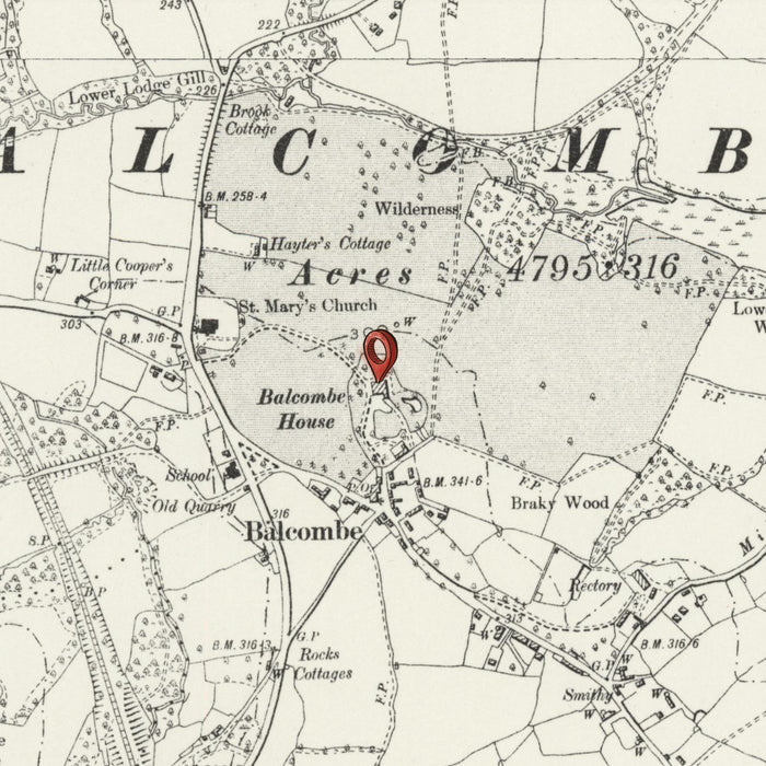
Your map will be crafted from historical Ordnance Survey maps ranging from the 1870s to the 1960s. These maps were initially created to provide meticulous geographical details across the United Kingdom and are celebrated for their artistic elegance and accuracy. They serve not just as navigational tools but as works of art, capturing the essence of Newcastle-under-Lyme's development through the ages.
Please note you are purchasing a fully customised old map. Modern landmarks, such as your house, may not have been built yet! You can contact me to check if a certain location, landmark or feature is shown on this map.
Generally, larger maps look much better than smaller maps, because you can enjoy all of the smaller details. If you need a smaller map, I would suggest ‘zooming in’ so that the map covers a smaller area.
Because these maps are custom made to order, we can make you a map that looks great at at any size, from very small (8x10in/20x25cm) all the way to a few metres. If you are looking for a very large map, please get in touch.
The model in the listing images is holding the 18x24in (45x60cm) version of this map.
Every map can be personalised or customised, for example if you want to mark your house or street on the map. The fifth listing image shows an example of my map personalisation service.
This personalised map would make a wonderful housewarming, birthday, Christmas, Father's Day, Mother’s Day, wedding anniversary or work leaving gift for someone from Newcastle-under-Lyme, or someone who works there.
This map is available as a giclée print on acid free archival matte paper, or on artist’s cotton canvas. Several frame choices are available for free, or custom framing is available for an additional fee. Please get in touch if you’re looking to order a very large map for a hotel or office, or if you’re looking for a size that isn’t available on my shop.
Share