The Unique Maps Co.
United Arab Emirates Topographic 3D Relief Map
United Arab Emirates Topographic 3D Relief Map
Couldn't load pickup availability
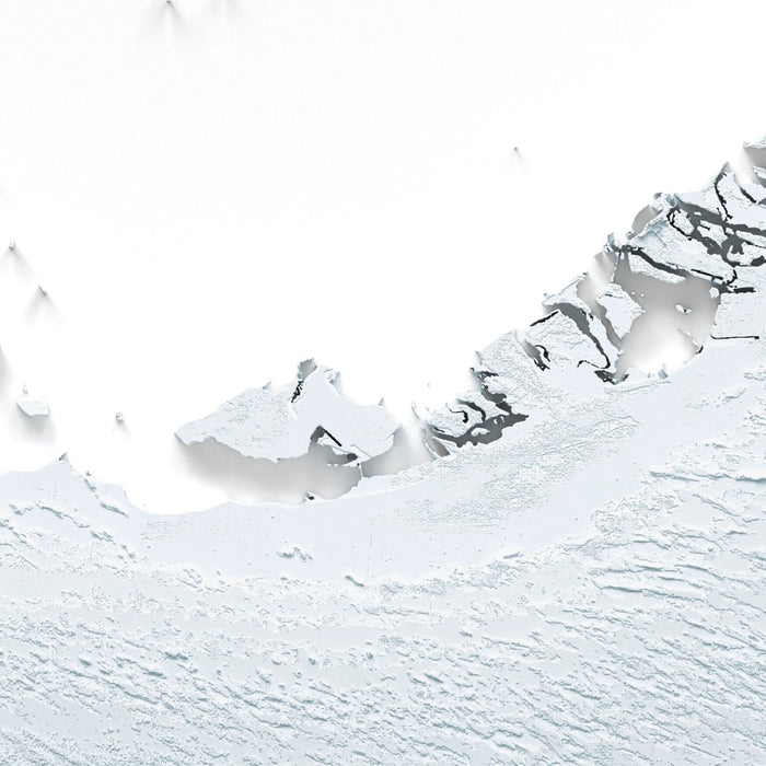
This is a minimalist topographical relief map of the United Arab Emirates, created by The Unique Maps Co. and enhanced with our trademarked Unique 3D process. There are no labels or borders to distract the eye—just the land itself, rendered so that light and shadow reveal high summits, deep wadis, rolling dunes, and the quiet breadth of the coastal plains.
Along the country’s eastern flank, the Hajar Mountains rise decisively from the lowlands, their razor-edged ridgelines and stepped limestone escarpments throwing long shadows that emphasize rugged height and incision. Jebel Jais crowns the far northeast with a cluster of high peaks, while the outlier of Jebel Hafeet stands sentinel over Al Ain, its fluted cliffs and benches clearly separated from the main range. Between these heights, a web of wadis—Wadi Bih, Wadi Ghalilah, and Wadi Wurayah among them—cuts steep-sided valleys that read as fine, branching grooves where the light grazes the terrain. On the Gulf of Oman side, the mountains fall abruptly to a narrow coastal shelf around Fujairah and Khor Fakkan, a sharp transition that the relief’s shadowing brings into crisp focus.
Swing west and the tone softens into the UAE’s broad coastal plain along the Arabian Gulf. Here, gentle shading picks out low alluvial fans spilling from the mountains toward the sea, merging into shallow lagoons, tidal inlets, and sabkha flats. Around Abu Dhabi, a constellation of low-lying islands, channels, and sheltered bays forms a delicate, fractured shoreline; near Dubai and Sharjah the coastal platform is flatter, punctuated by the subtle incision of creeks and the tidemarks of old shorelines. These near-sea features sit just above sea level, so their forms appear as nuanced undulations rather than dramatic relief—yet under angled light they resolve into a lacework of margins and margins-within-margins.
To the south and west, the land surrenders to the Rub’ al Khali, where the desert’s great dune fields roll outward in rhythmic waves. The map’s sculpted lighting catches the knife edges of seif and barchan dunes and lets their lee slopes fall into soft shadow, revealing long dune corridors and star-dune knots in the deeper interior. The vast sabkha of Sabkhat Matti spreads near the Saudi border as a hushed, level pan, a striking counterpoint to the surrounding sand seas. Arcing along the desert’s northern face, the Liwa crescent marks the threshold between high megadunes—home to landmarks like Moreeb Dune—and the more open desert plains. Farther east, the gravel deserts and pediments around Al Ain appear smoother, etched by ephemeral wadis that braid toward the lowlands.
Seen this way, the UAE is a country of bold contrasts: mountains that thrust skyward within sight of the sea, cityscapes perched on quiet coastal shelves, and an interior that heaves into immense sand ridges before settling into salt flats at the edge of the horizon. Whether you call the Emirates home, remember a journey from Jebel Hafeet to the Liwa dunes, or are seeking a meaningful gift, this relief portrait invites you to trace every ridge, wadi, sabkha, and island with your fingertips—and to see a familiar landscape anew through the play of light and shadow.
Please note that our Unique 3D maps look remarkably 3D, particularly when framed, but they are 2D prints on paper (or canvas).
About our Unique 3D Topographic Relief Maps
These aren’t just maps — they’re landscapes, sculpted with light and shadow.
Our shaded relief prints use ultra high resolution topographic data and a secret 3D rendering process to create the illusion of raised terrain — like the mountains are about to lift right off the page. No labels, no borders, no distractions. Just the raw shape of the land, brought to life in a clean, modern style.
They’re designed to feel timeless. Bold enough to be a centrepiece, subtle enough to blend in. A perfect gift for map lovers, mountain wanderers, or anyone who finds beauty in the shape of the Earth.
Learn more about our Unique 3D process.
And of course, like any of our other maps, you can personalise this topographical map as well. Why not mark your favourite peaks, or the routes of your favourite hikes and cycle rides?
More Product Info
If you're not sure what size to order, or you're looking for a custom order of some kind – a different size, a different colour, a special frame – then please contact me. I usually respond within a few minutes.
You can see an example of my map personalisation service in the fifth image. Zoom in and take a look. My personalised maps are always very well received. Take a look at more examples of personalisation.
You can also choose to age your map to make it look older. This is popular amongst my customers who want their artwork to look like an older, antique print. You can see an example of ageing in the sixth product image, or go ahead and check out lots of examples of other aged artwork.
The model in the listing images is holding the 18x24in (45x60cm) version of this map.
I can print and frame this beautiful topographical 3D map at sizes up to 3 metres (10ft). If you are looking for a size or framing option that isn't available online, please get in touch.
This map is available as a giclée print on acid free archival matte paper, or you can buy it framed. My standard frames come in six colours (black, dark brown, dark grey, antique gold, oak and white), and custom framing is available for an additional charge. My frames are glazed with super-clear museum-grade acrylic (perspex/acrylite), which is significantly less reflective than glass, safer, and will always arrive in perfect condition.
Share